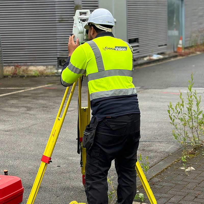
A topographical survey is a key component in the design process for a site and should be completed before any detailed design work takes place.
What is a topographical Survey?
This type of survey maps the boundaries, manmade and natural features, and levels of a site, and is the first step in the process for the site’s development. Other constraining factors such as highways and buildings adjacent to the site are also surveyed to aid the design process.
What is it used for?
A professionally produced topographical survey can be used as a legal
document to define boundaries of a property. Other professionals such as architects, civil engineers and planners use them to make decisions on design and project management.

- Precise, detailed & robust surveys
- UK coverage
- State of the art equipment
- Fast turnaround times
- A professional & reliable service
What are the benefits?
The main benefit of topographical surveys is that they help with planning and decision-making. An accurate survey will prevent costly assumptions being made about the size of the site, or about other constraints such as site levels and heights and positions of surrounding buildings.
- Help with planning and decision-making
- Prevent costly assumptions
- Prevent site constrants
Contact us to discuss a Topographical Survey
"*" indicates required fields


