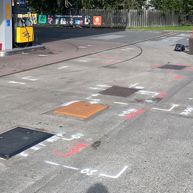
Geovision provide utility surveys compliant to PAS 128 specifications
What are the different survey types?
When specifying a PAS 128 compliant underground utility survey, there are different levels of detail that may be required. The selection criteria ensure the data collected meets the on-site requirements of the specific project.
The PAS 128 survey types are:
- Type D: Underground utilities are plotted based only on record data, otherwise known as desktop survey.
- Type C: Underground utilities are plotted based only on utility record data, but with on-site investigation to match physical indicators above ground with the records as a best fit.
- Type B: Utilities are detected by geophysical methods, such as Ground Penetrative Radar (GPR) to get an exact horizontal position and vertical position i.e. depth. Category B Surveys are carried out to one of four levels of accuracy with each requiring a different survey type.
- Type A: Utilities are verified and positioned by eye, using physical identification, which may include visual inspection, vacuum excavation, or hand dug trial pitting.

If you need guidance deciding which survey type or method you require, please get in touch.
- Precise, detailed & robust surveys
- UK coverage
- State of the art equipment
- Fast turnaround times
- A professional & reliable service
Contact us to discuss a PAS128 Utility survey.
"*" indicates required fields


