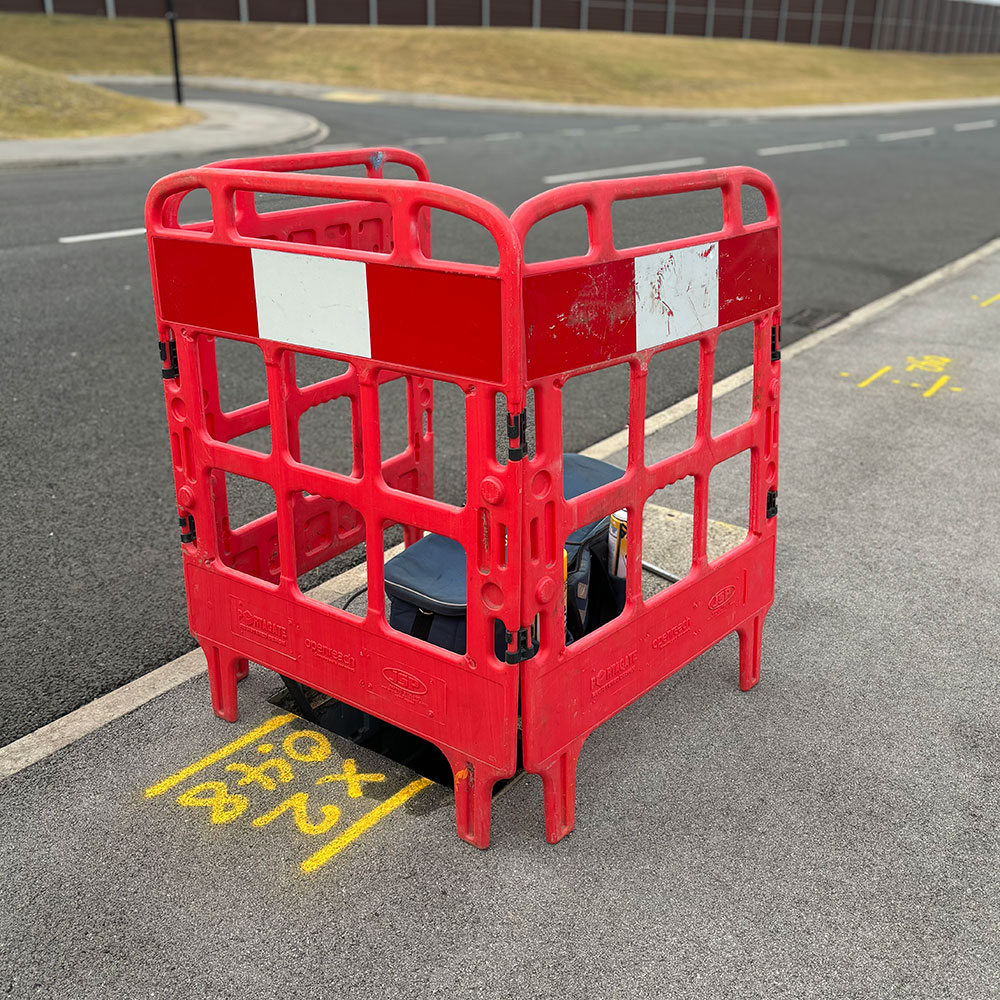
The main objective of an underground utility survey is to stop damage to utilities during construction and excavation projects, improve safety, and support the planning and maintenance of urban infrastructure.
At Geovision we combine the latest electromagnetic (EML) and Ground penetrating radar (GPR) equipment to create an accurate up to date record of underground utilities in a given area, this information is then complied into a detailed map showing the location and type of each utility as well as the depth and any other relevant information.
To discuss a Underground Utility Mapping survey
please contact us via info@geovisionsurveys.co.uk.

- Precise, detailed & robust surveys
- UK coverage
- State of the art equipment
- Fast turnaround times
- A professional & reliable service
We detect metallic and non-metallic services including:
- Power
- Water
- Gas
- Telecommunications
- Fibre optics
- Drainage
- Fuel pipes
GPR can also detect subsurface anomalies such as voids and obstructions

Contact us to discuss an Underground Utility Mapping survey
"*" indicates required fields


